Almere Oosterworld
By
MVRDV
In
Almere,
The Netherlands
Compare
Compare this project with others
Download
Download all project files
Download(.dwg)
Download(.dwg)
Close
Details
Views:
494
Tags
Data Info
Author
MVRDV
City
Almere
Country
The Netherlands
Year
2011
Program
Residential Masterplan
Technical Info
Site area
43000000 sqm
Gfa
0
sqm
Density
0 far
Population density
0
inh/ha
Home Units:
15000
Jobs
26000
Streetsroad:
0
%
Buildup:
0
%
NonBuild-up:
1 %
Residential
0 %
Business
0
%
Commercial
0
%
Civic
0
%
Description
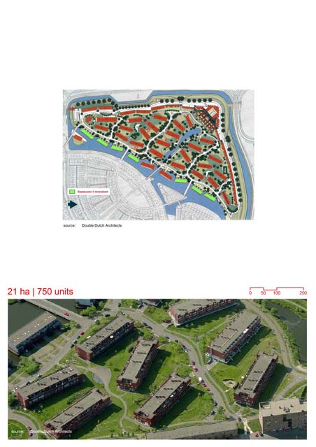
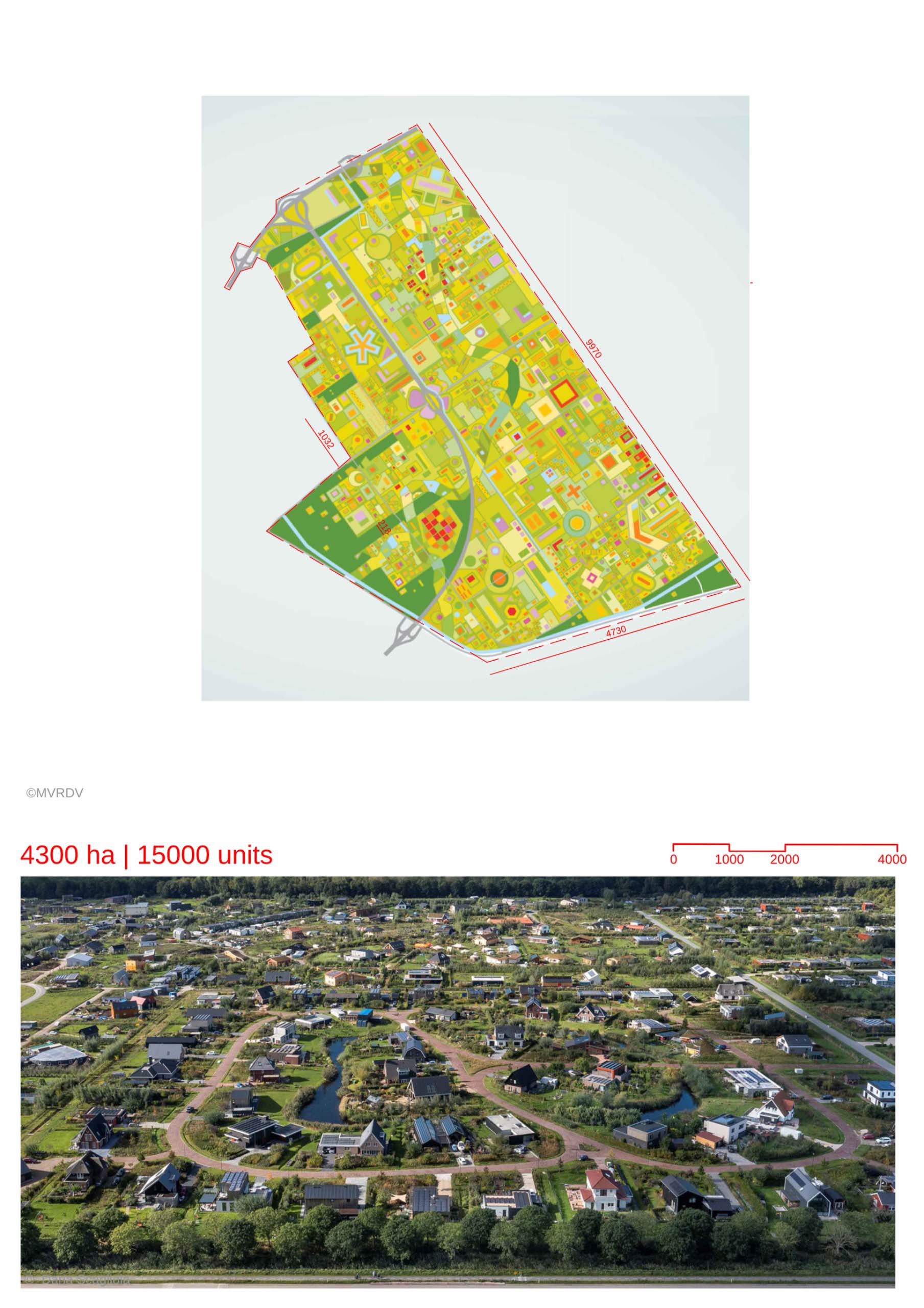
- The masterplan proposes a model of “do-it-yourself” DIY Urbanism, where zoning laws are replaced by a self organizing strategy.
- Development would be based on an individual’s need and is not restricted on form, size or programme but would be in a way that would be in harmony with the other residents. A software, the HouseMaker©, would assist inhabitants in building their home.
- The absence of zoning encourages the development of diverse units that would enable the creation of a lively neighborhood.
- Communal amenities such as power, public greens,urban agriculture can be initiated by the residents , who would be able to make decisions on how the land can be used in their neighborhood.
- This reinstates the idea of a “crowd planning” strategy, where the end-user decides on the amenities required and how they would be developed, creating lesser dependency on Government bodies.
- The clusters within the development are enveloped by a green ring consisting of mixed landscapes ranging from public greens to urban agriculture.
- The creation of productive landscapes is also proposed to provide food security and bridge the gap between grower and consumer.
- The landscape would be interspersed between the structures, so as to avoid a closed-off green space at only one location.
- The project talks about “ downscaling” referring to the creation of accessible and productive landscapes for every neighborhood rather than having large swathes of agricultural land disconnected from the city.
- MVRDV refers to this project as “liberated urbanism”, where the planning is highly participatory and the inhabitants are enabled to take key decisions through specialized tools developed for the project.
Location map
Explore more Masterplans
