No collection found
Are you sure?
This will unsave the project your collection.
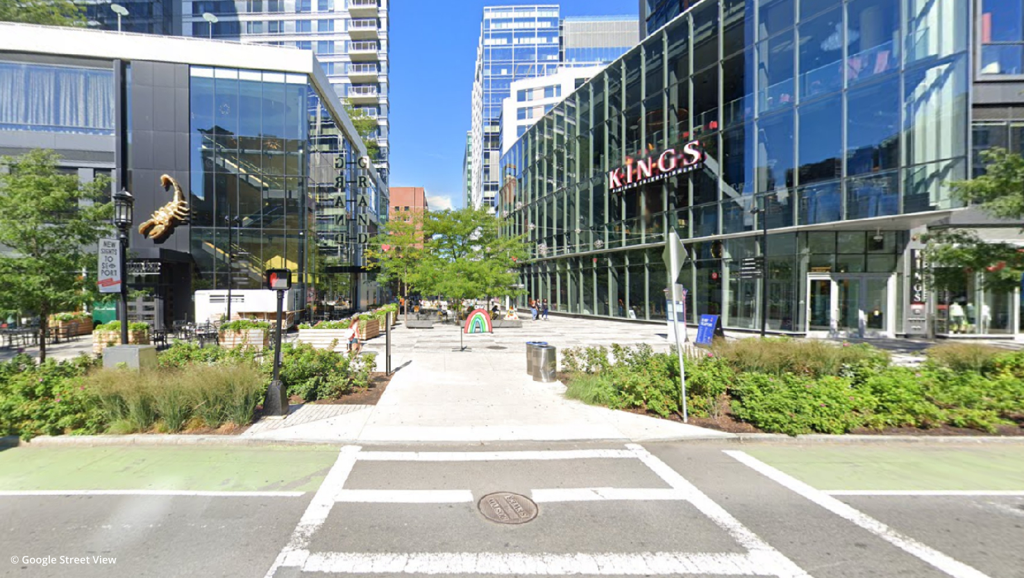
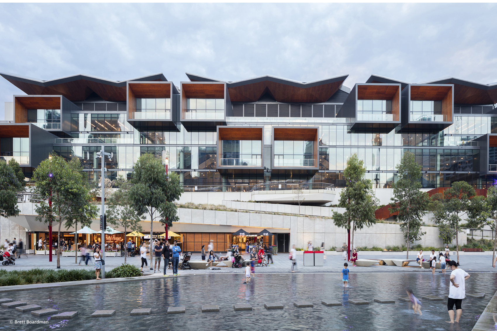
The Boston Innovation District is being developed as a hub of entrepreneurship and collaboration. It is located in what is known as the Seaport District along the harbour side. The region is being transformed into a vibrant mixed-use neighbourhood with an emphasis on creating collaborative ecosystems for start-ups and businesses. The district is being helmed as an urban lab where new technologies would be tested and where there would be improved dialogue between the city and residents. Ideas like use of renewable energy, enhanced citizen participation and improved transit infrastructure are being promoted.
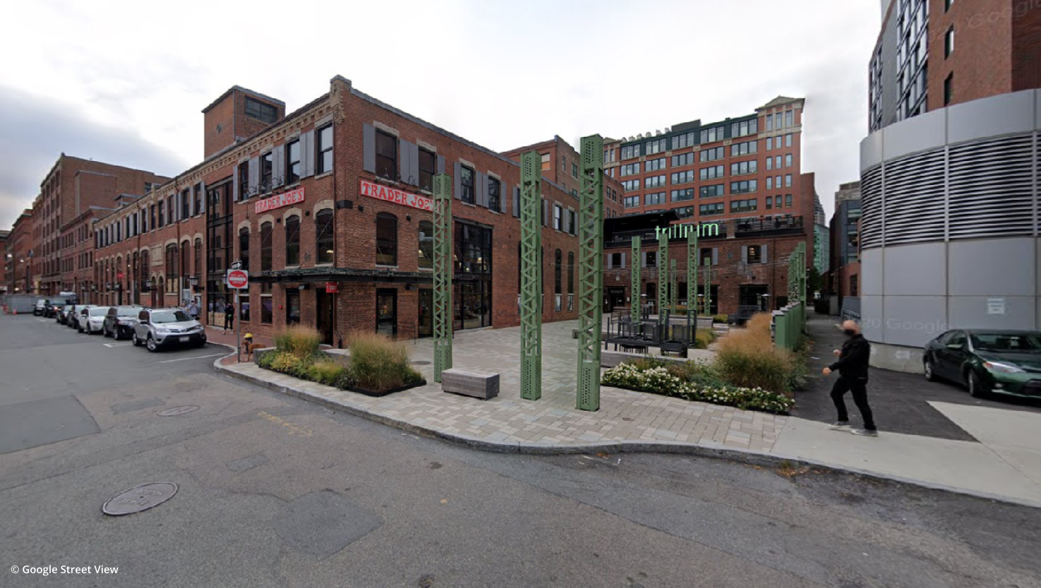
The Seaport district where the BID is located was a former port industry site. Over time the port activities declined, leading to the site being used as a parking lot. In 2004, the “Lifetech Boston” policy was proposed to encourage the urban development of areas. Hence, the BID became one of the first urban redevelopment projects undertaken in line with the policy. One portion of the site remains as a maritime industrial park undertaking port activities. The majority of the site is mixed-use with residential, corporate buildings and incubators. District Hall is one of the first buildings to come up in the area. It is a public innovation center located at the heart of the district.
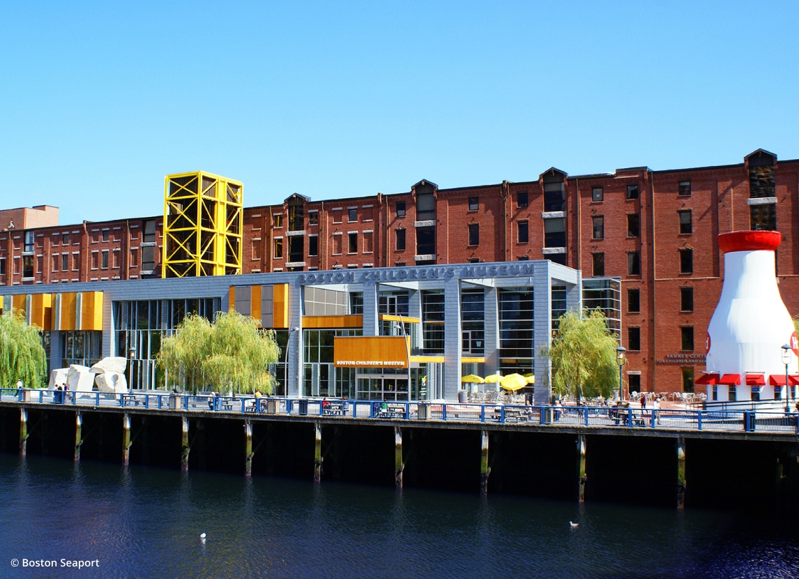
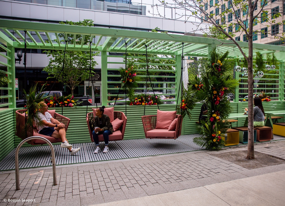
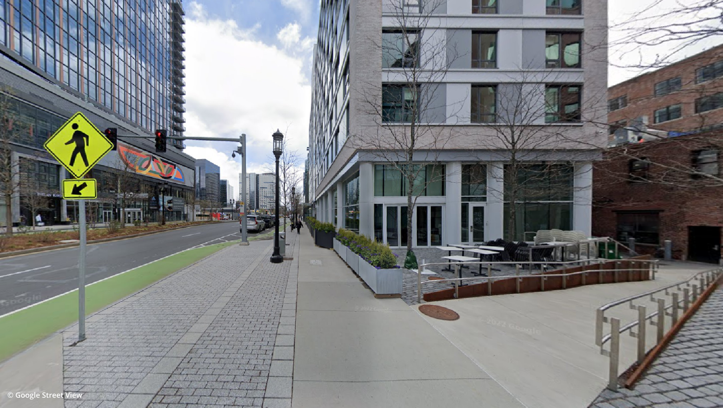
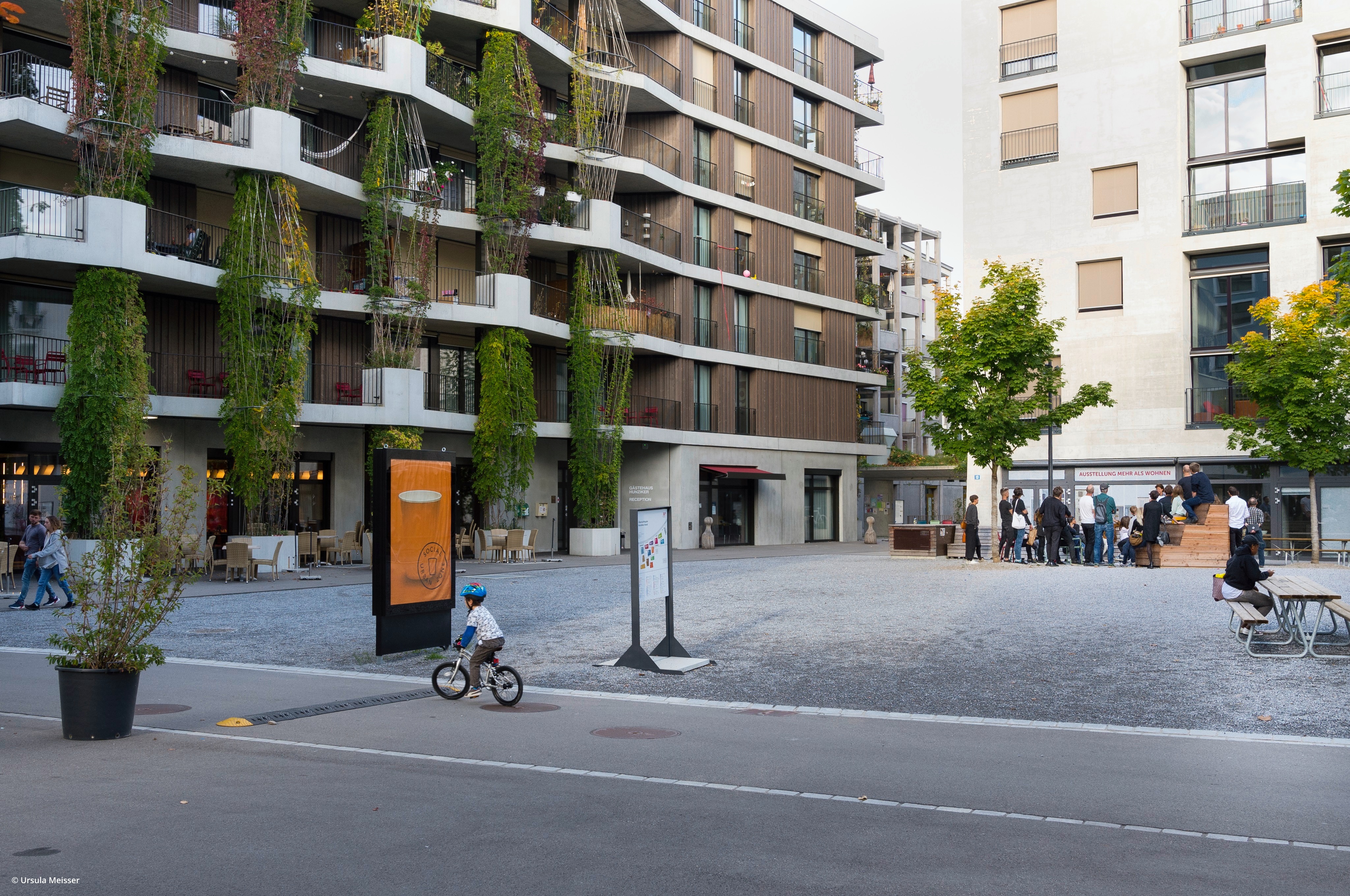
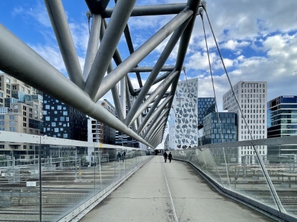
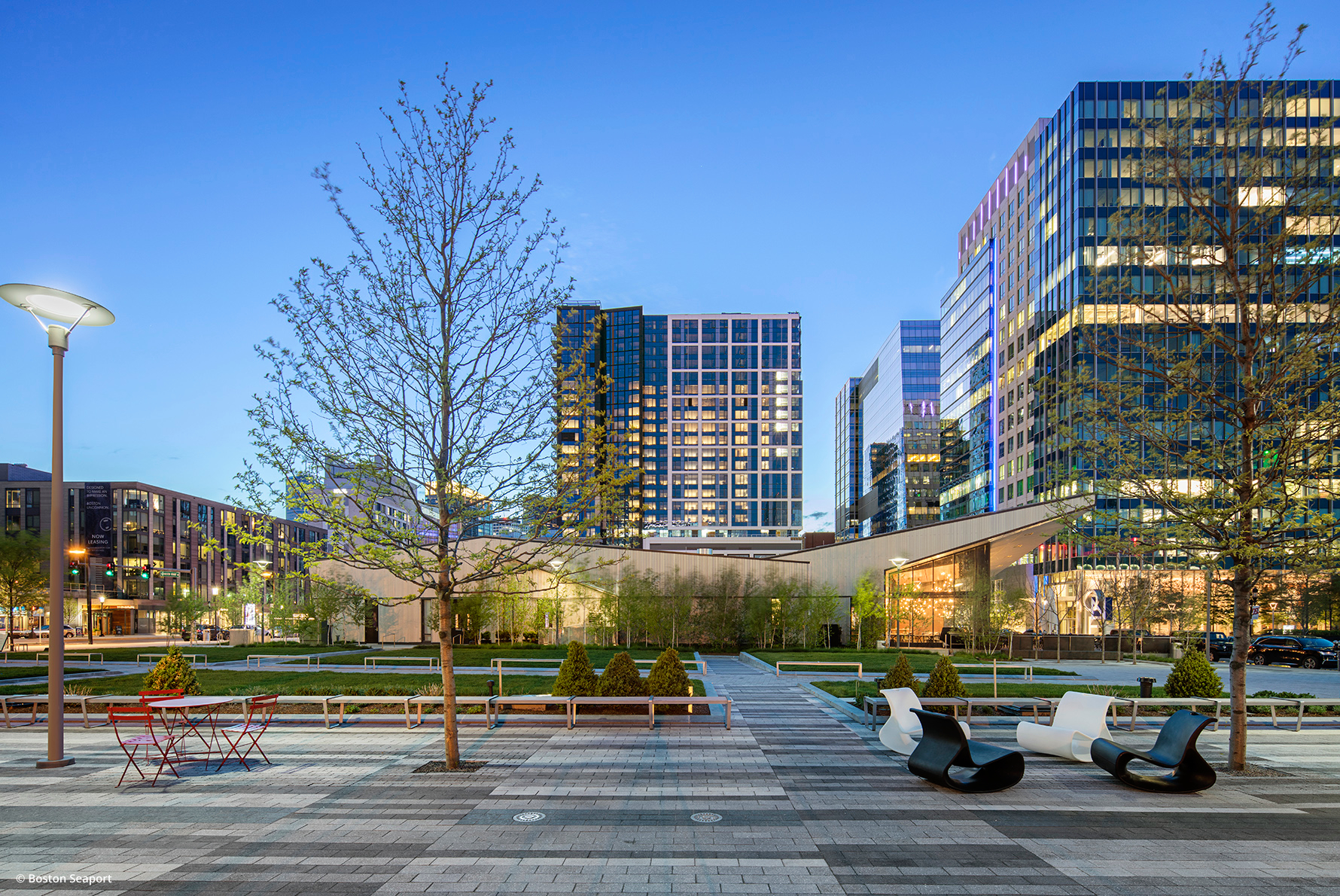
An extensive effort is being undertaken to make the once industrial waterfront publicly accessible. The Harborwalk is a promenade running along the water edge. It is a lively public space with lighting, landscaping, fishing piers, observation decks and other public facilities. The water is extended inland through the creation of linear parks, pedestrian ways and view corridors. A set of North-South streets connect the inland residential areas with the waterfront. They terminate at a public space along the water’s edge. In order to create a 24/7 neighbourhood, substantial amount of housing is being introduced. Different housing types and densities will be created including live-work spaces.
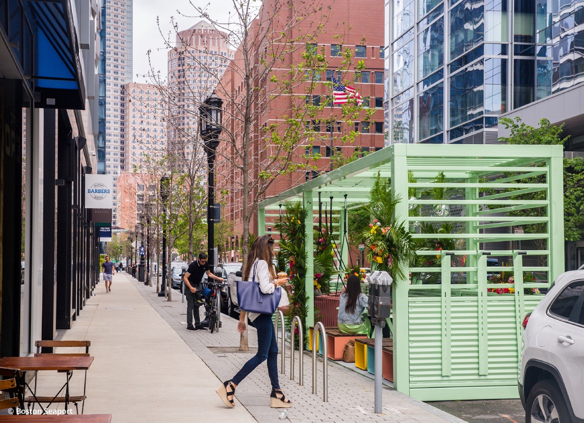
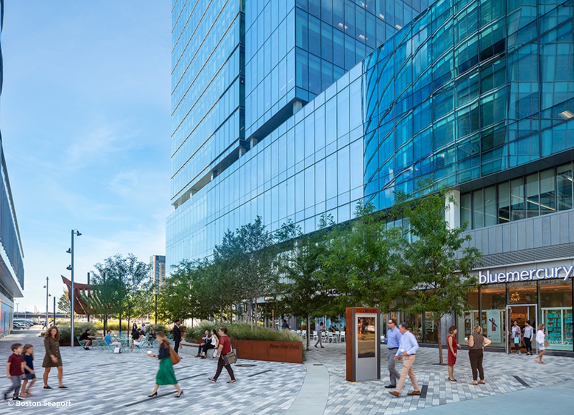
The streets are being designed as fine-grained grid to be able to accommodate amenities and facilities. The large industrial scale urban blocks are being made into small scale irregular blocks for this purpose. On account of the constant tropical storms occurring in Boston, provision for covered pedestrian ways and enclosed public corridors within buildings are provided. They would also act as through-block connections. Three main streets running in the East-West direction would act as corridors, each having a unique character. They would have retail, commercial, civic functions. Linkages would be created between the land and water transport networks. The overall building heights of the district is planned as lowest near the water’s edge and it gradually rises inland. This follows the local character of low-rise waterfront city transitioning into a high-rise business district.