No collection found
Are you sure?
This will unsave the project your collection.
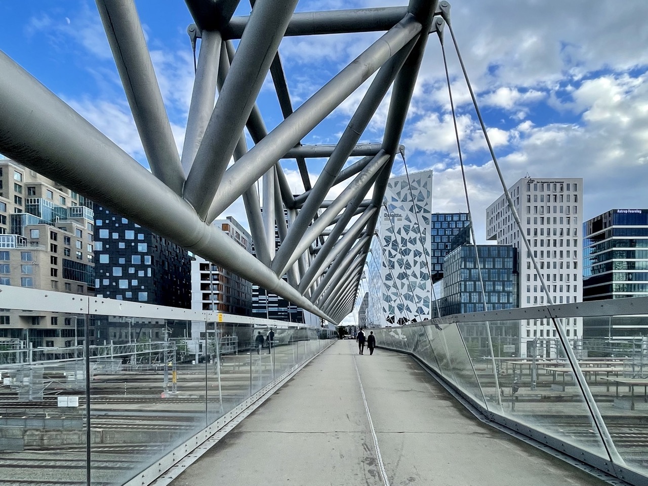
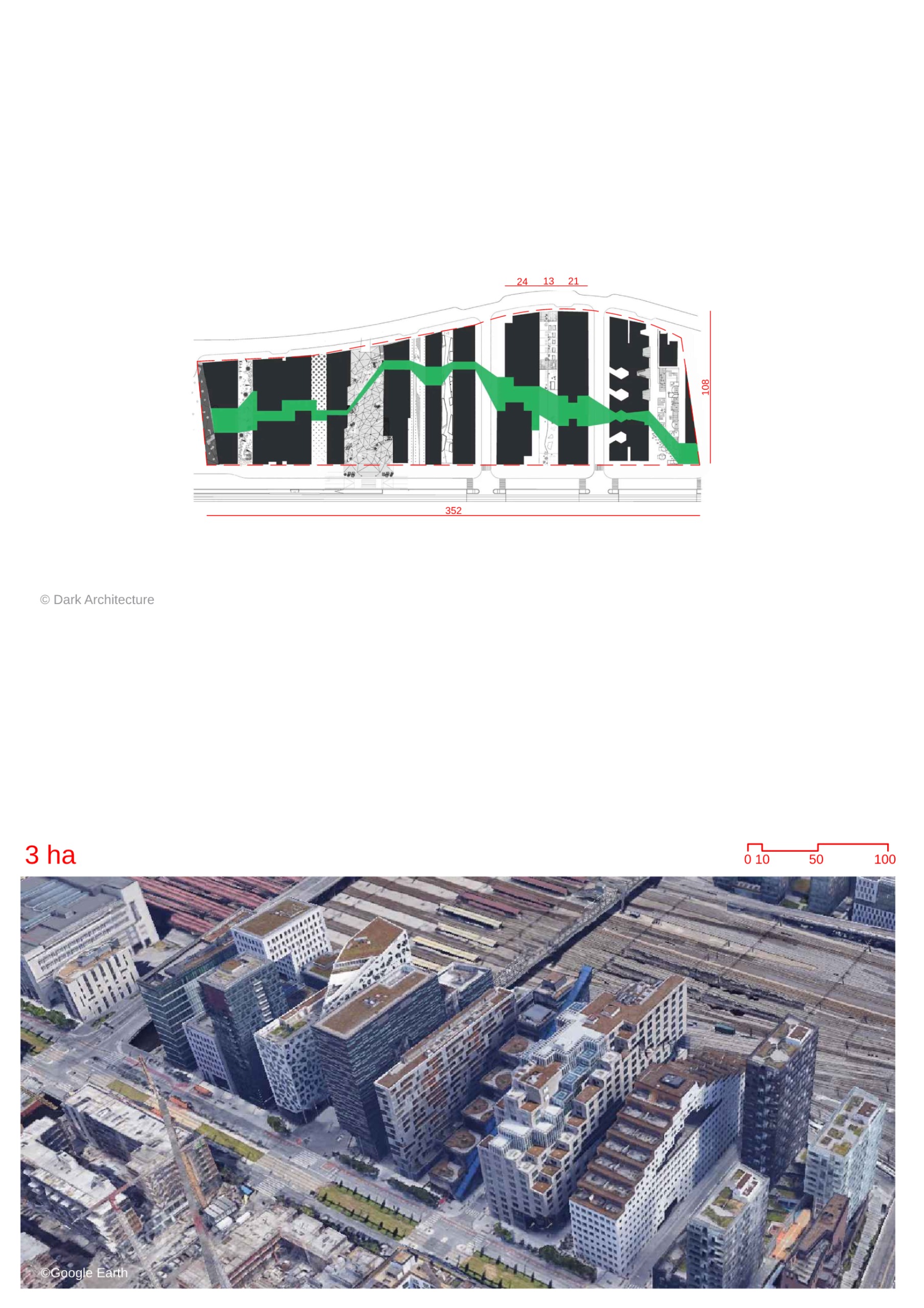
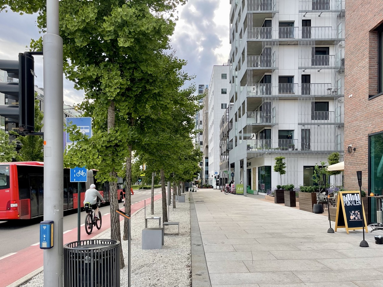
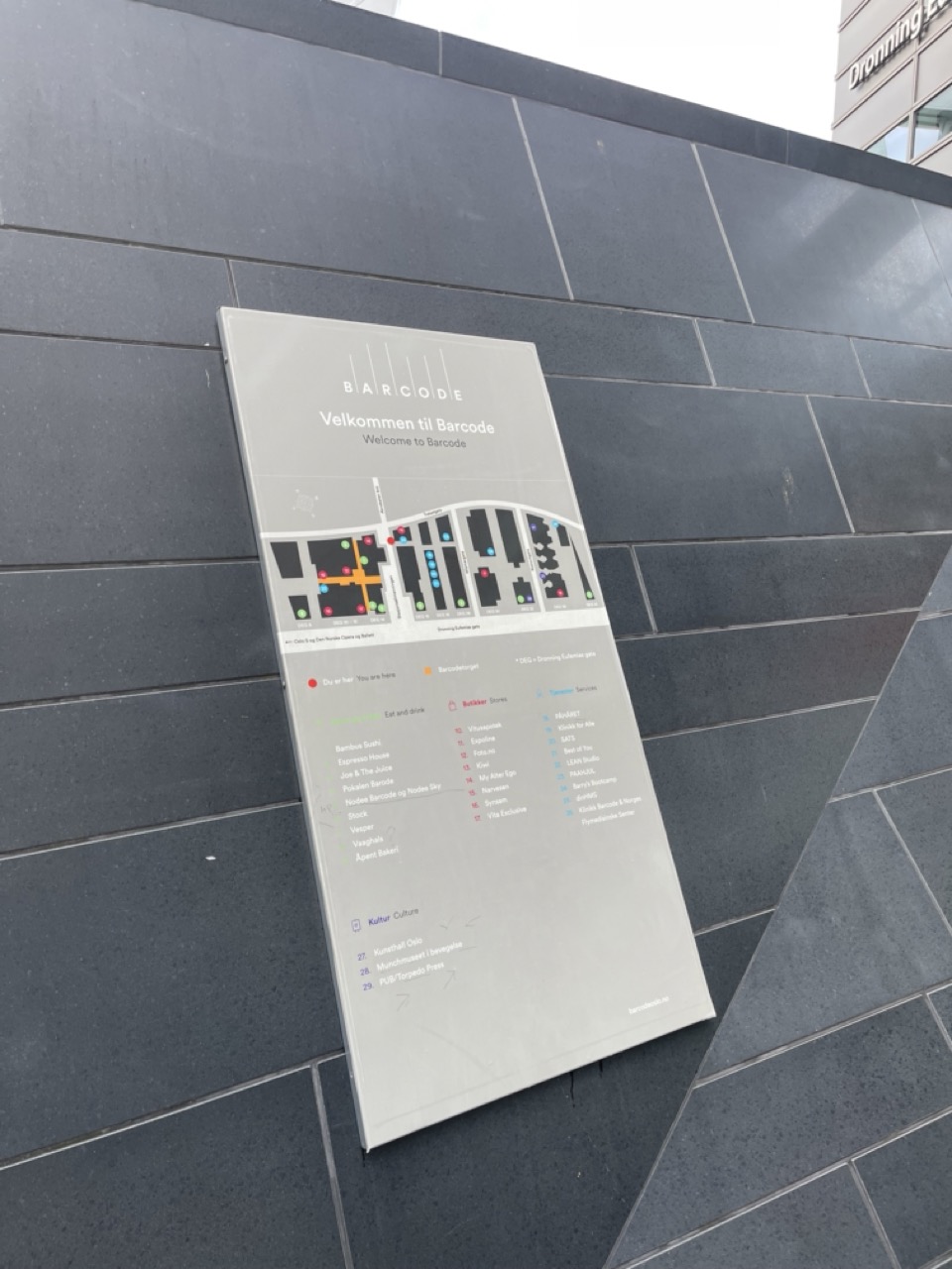
Barcode is a business district located in Oslo, Norway. It is one of the first developments to be built as part of the urban renewal of the Bjørvika district. It consists of twelve narrow high-rise buildings with distinct architectural character. The narrow forms and linear arrangement of the towers resembles a barcode, this is where the name of the district is taken from. The district is located between the Oslo Central Station(a major transport hub) and the waterfront. BARCODE is home to national and international businesses. The mixed-use nature of the district attracts many visitors to its restaurants and cafes.
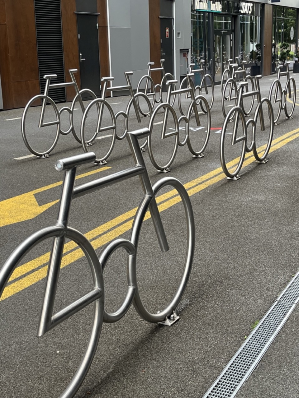
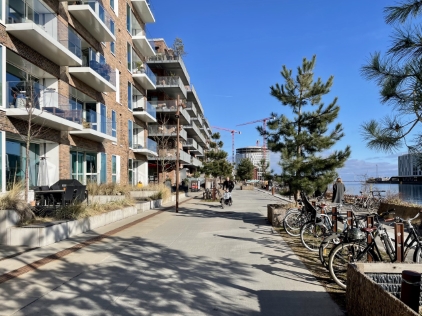
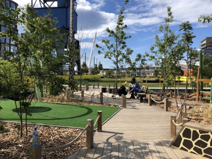
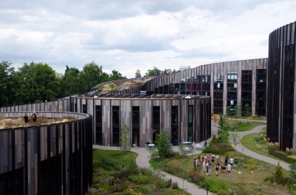
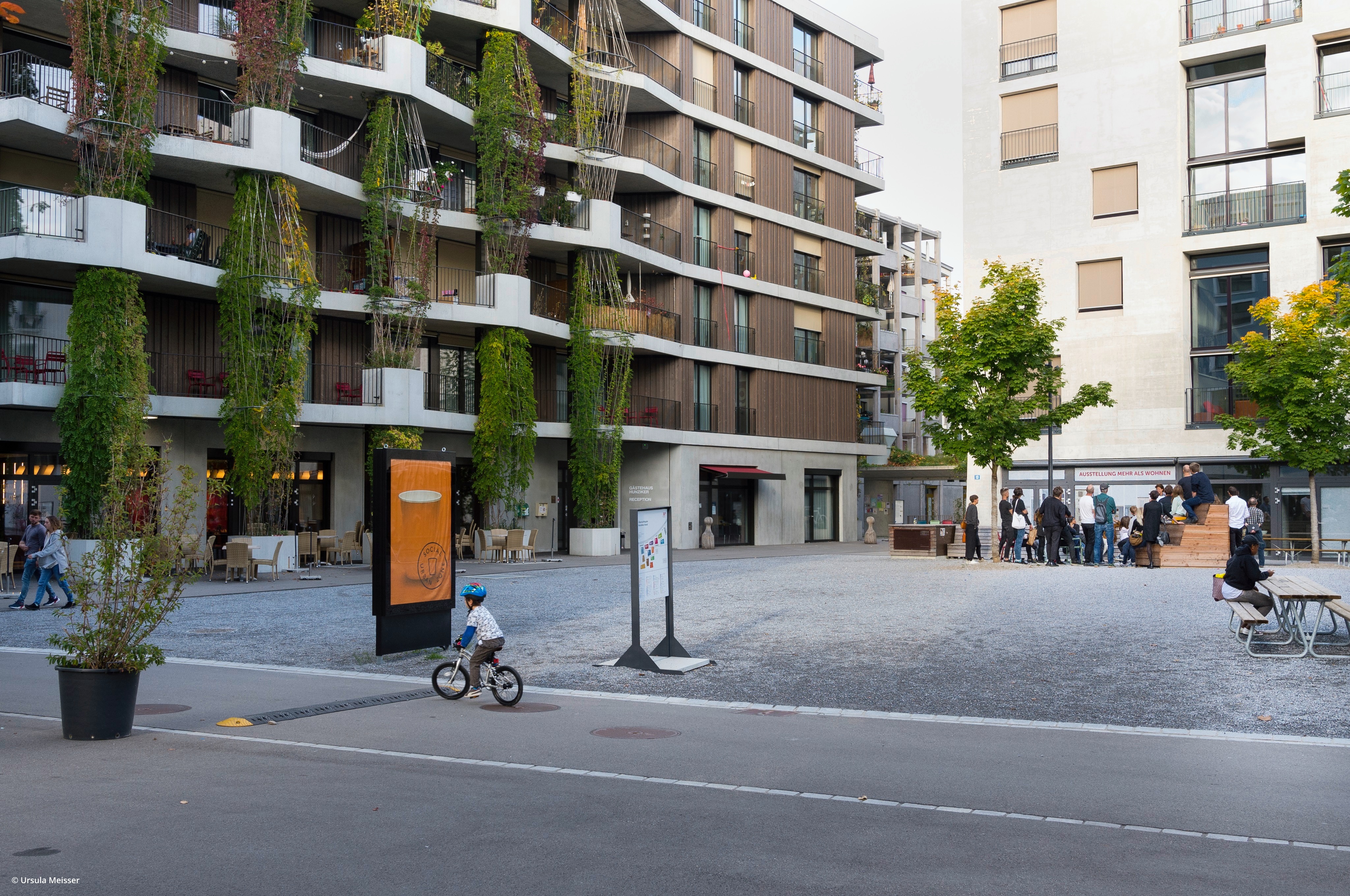
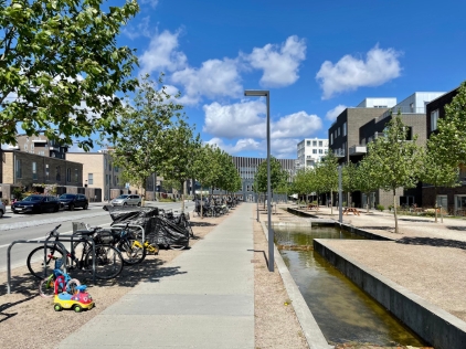
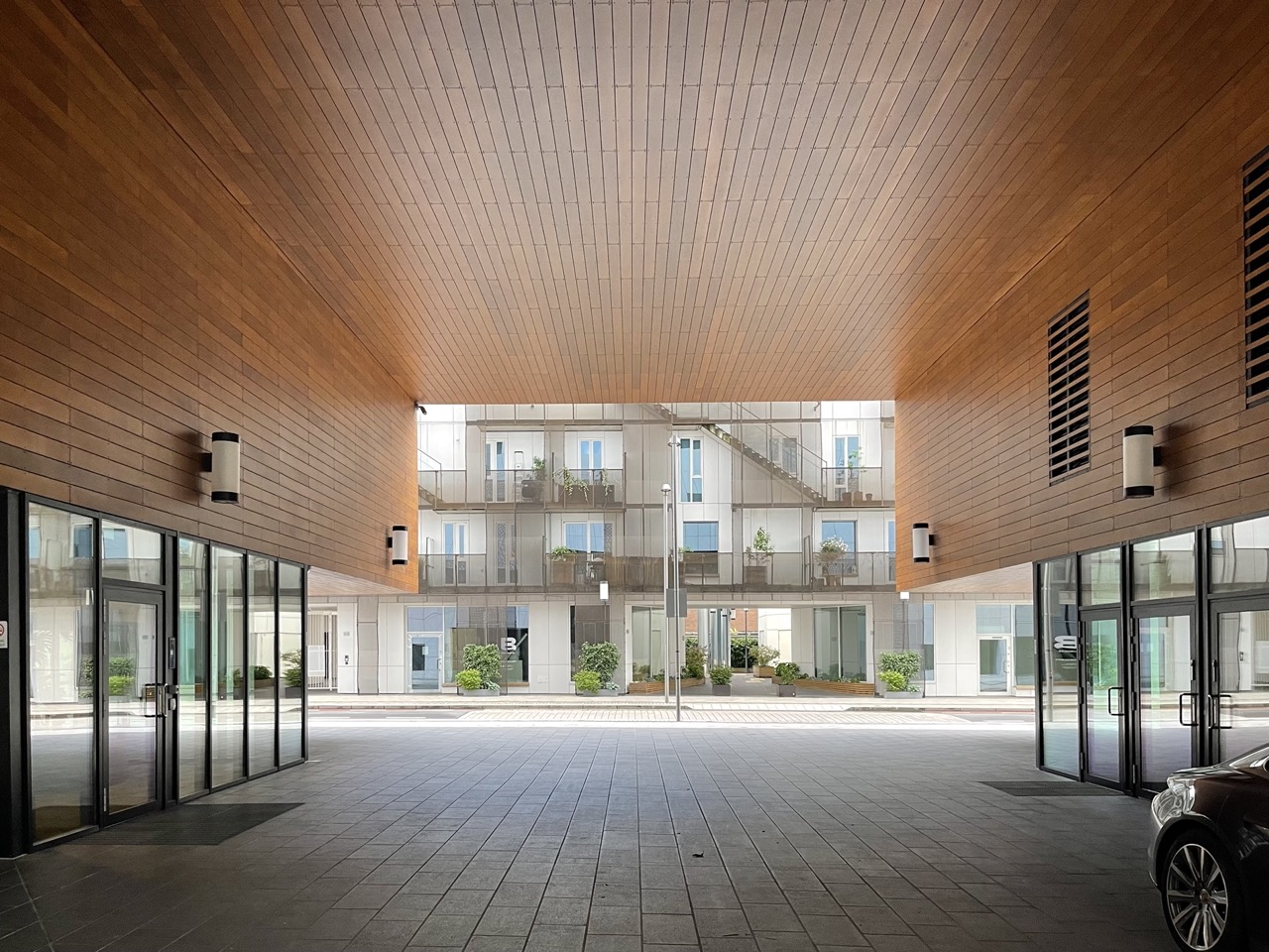
The fjords along the coastline of Bjørvika were formerly industrial lands that were not publicly accessible. The Fjord city concept aims to create a lively waterfront district where the city is connected with the fjords. There has been an effort to create pedestrian streets with public squares and increased public spaces. The buildings of the BARCODE are narrow with linear open spaces in between the buildings that make up 50% of the area. They help maintain visual connections towards the fjord. The minimum width of the open spaces was set to be twelve meters.
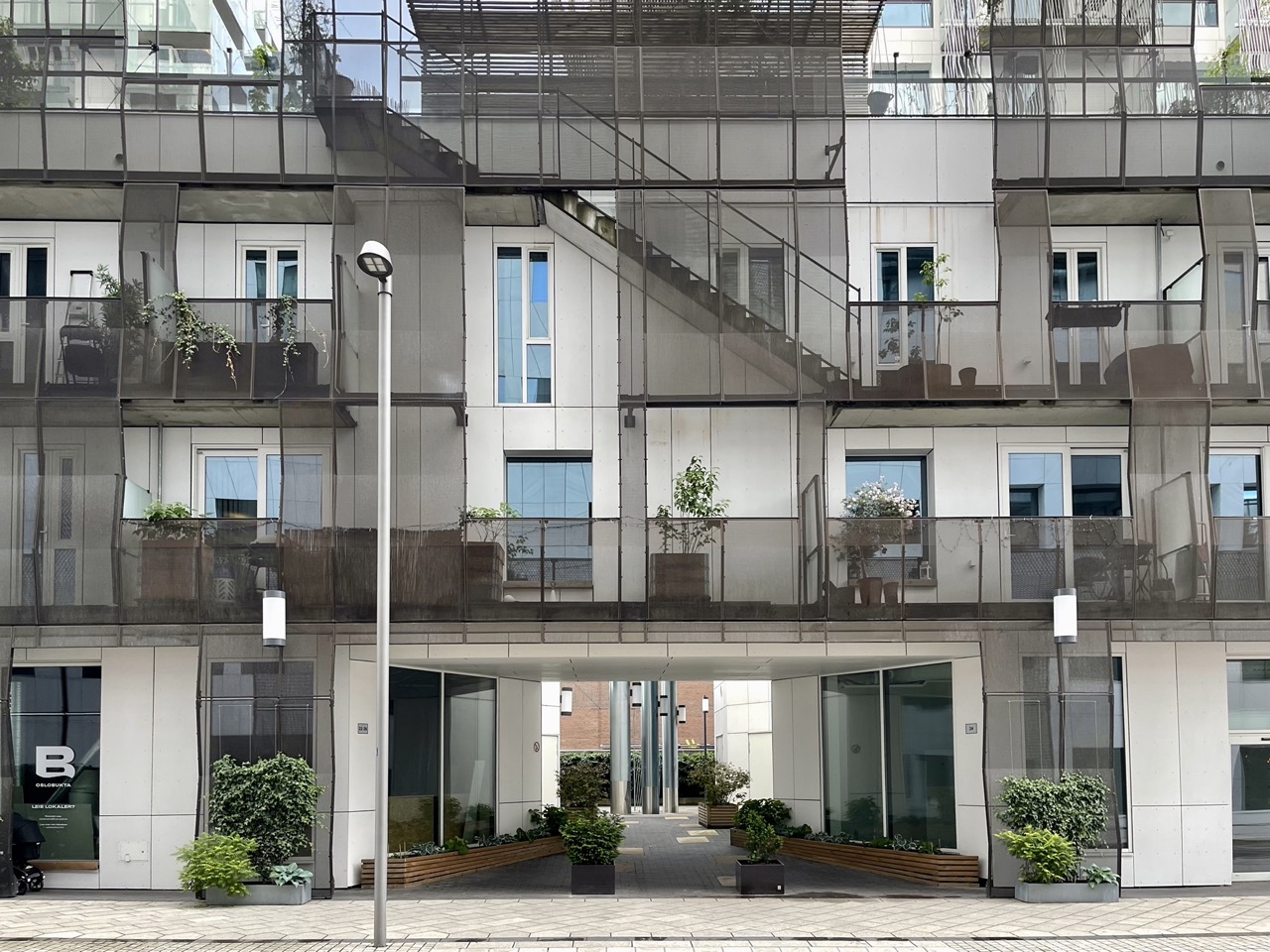
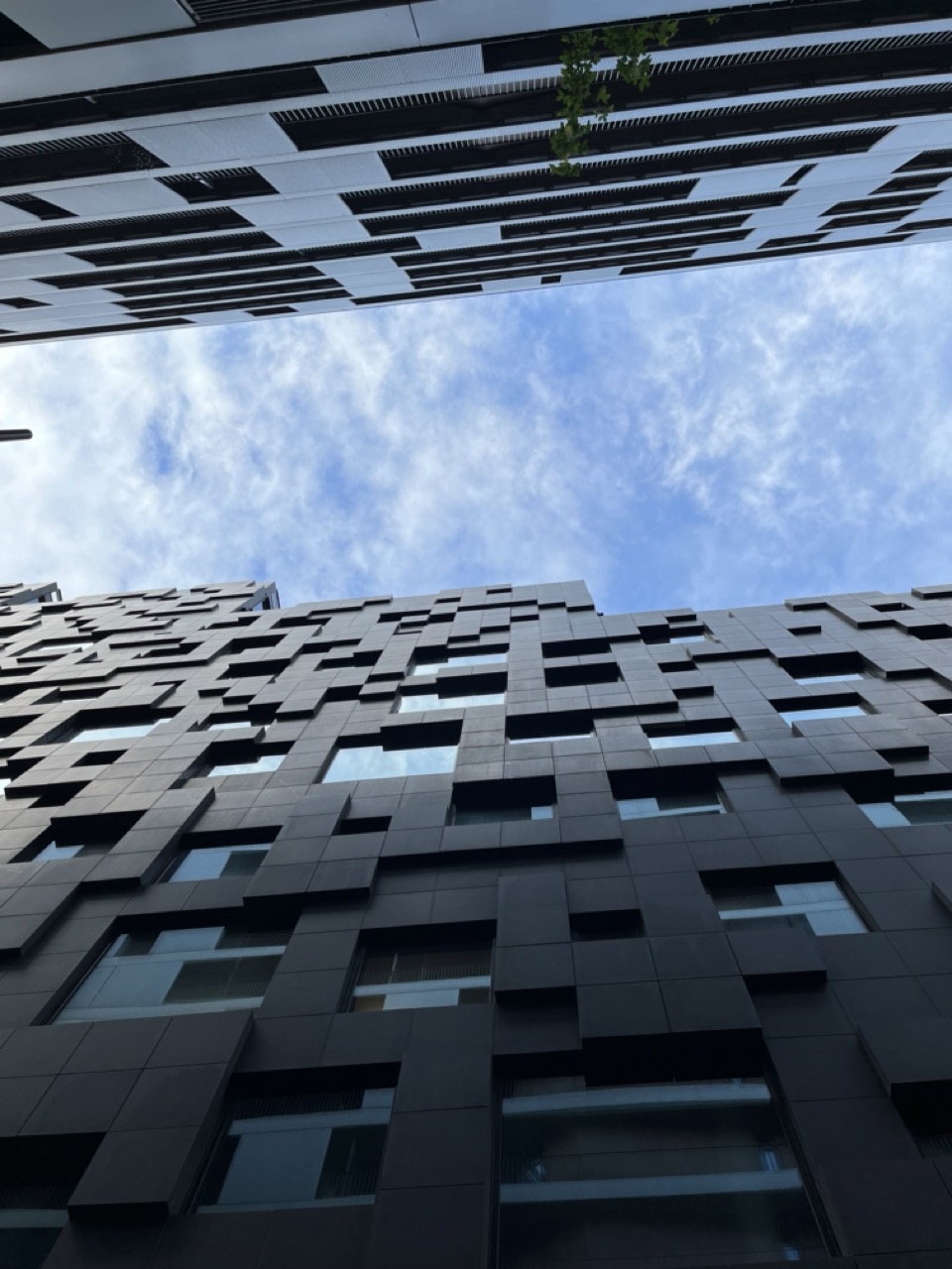
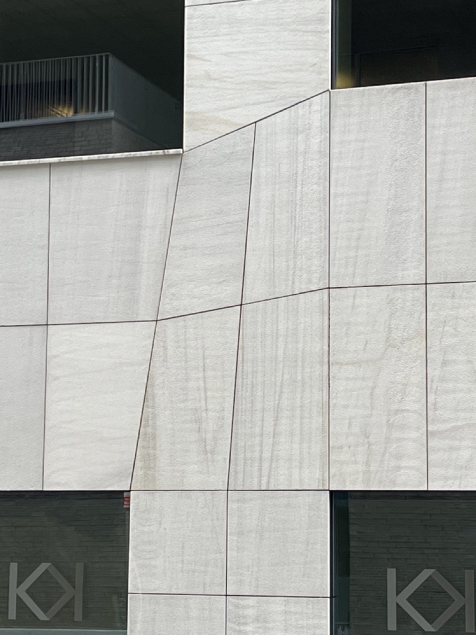
The architecture of BARCODE experiments with various styles. Each of the twelve buildings are unique and were designed by different architects. The seemingly diverse nature of buildings was surprisingly designed with a planned framework. The architects of various firms involved were given a framework of rules to follow but had to achieve a completely unique design from the neighboring buildings. No two buildings could be similar. A round of designs were created to find the most pleasing skyline and to measure how the different buildings would look next to each other. Once the final forms were arrived at, the twelve building were autonomously built. The entire skyline was revealed to the city only on completion of the district.
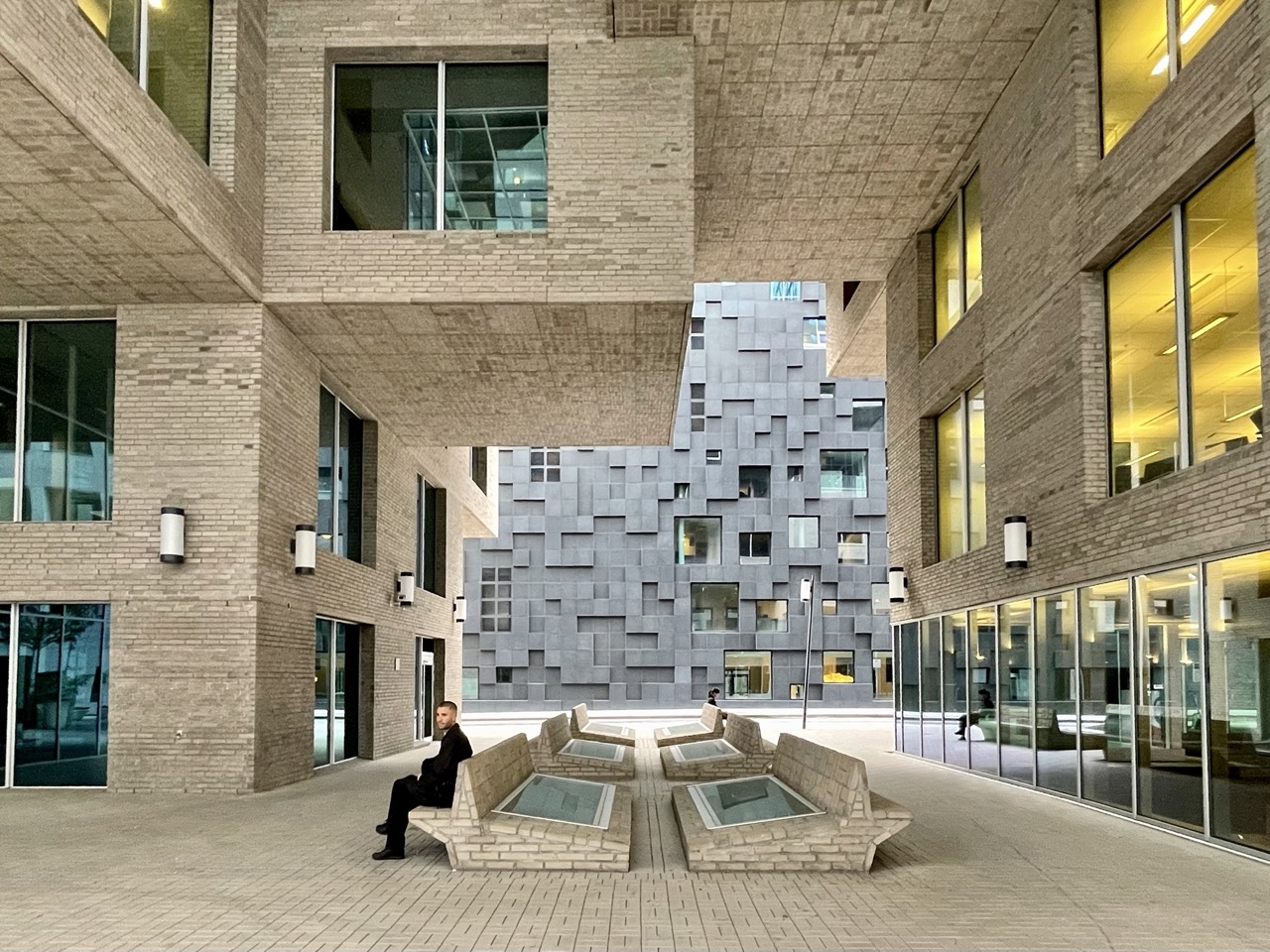
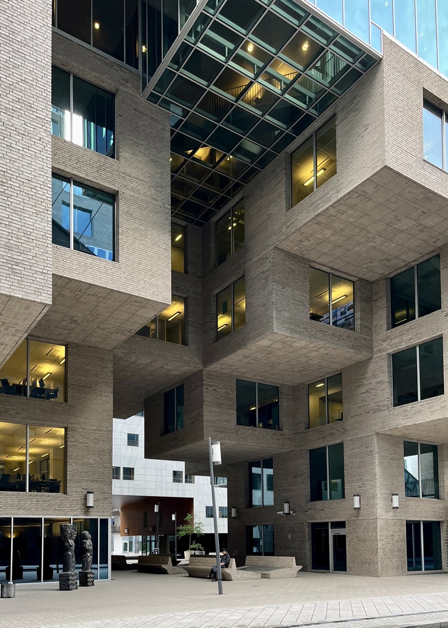
The central three buildings were designed by MVRDV, A-Lab and Dark Arkitekter who were also involved in the masterplan of BARCODE. They are connected at the lower levels to create a matrix of pedestrian spaces. The Wedge is a building by A-Lab which has a distinct wedge-shaped form clad with bricks. It was the last building to be constructed in the district and has a residential character in appearance. The street level has been provided with a mix of uses to generate vibrant street activity. There is also a museum where artefacts unearthed at the site during construction have been displayed. The museum showcases the local Nordic heritage. Underground parking facilities have been provided to maintain the walkability of BARCODE.