Erdre Portiere
By
BASE,RIO,SUEZ,FRANçOIS GRETHER,ARPENTERE
In
Nantes,
France
Save this project to one or more collections.
No collection found
Are you sure?
This will unsave the project your collection.
Compare
Compare this project with others
Details
Views:
398
Tags
Data Info
Author
BASE,RIO,SUEZ,FRANçOIS GRETHER,ARPENTERE
City
Nantes
Country
France
Year
2021
Program
Neighbourhood
Technical Info
Site area
570000 sqm
Gfa
0
sqm
Density
0 far
Population density
0
inh/ha
Home Units:
2500
Jobs
0
Streetsroad:
0
%
Buildup:
0
%
NonBuild-up:
0 %
Residential
0 %
Business
0
%
Commercial
0
%
Civic
0
%
Description
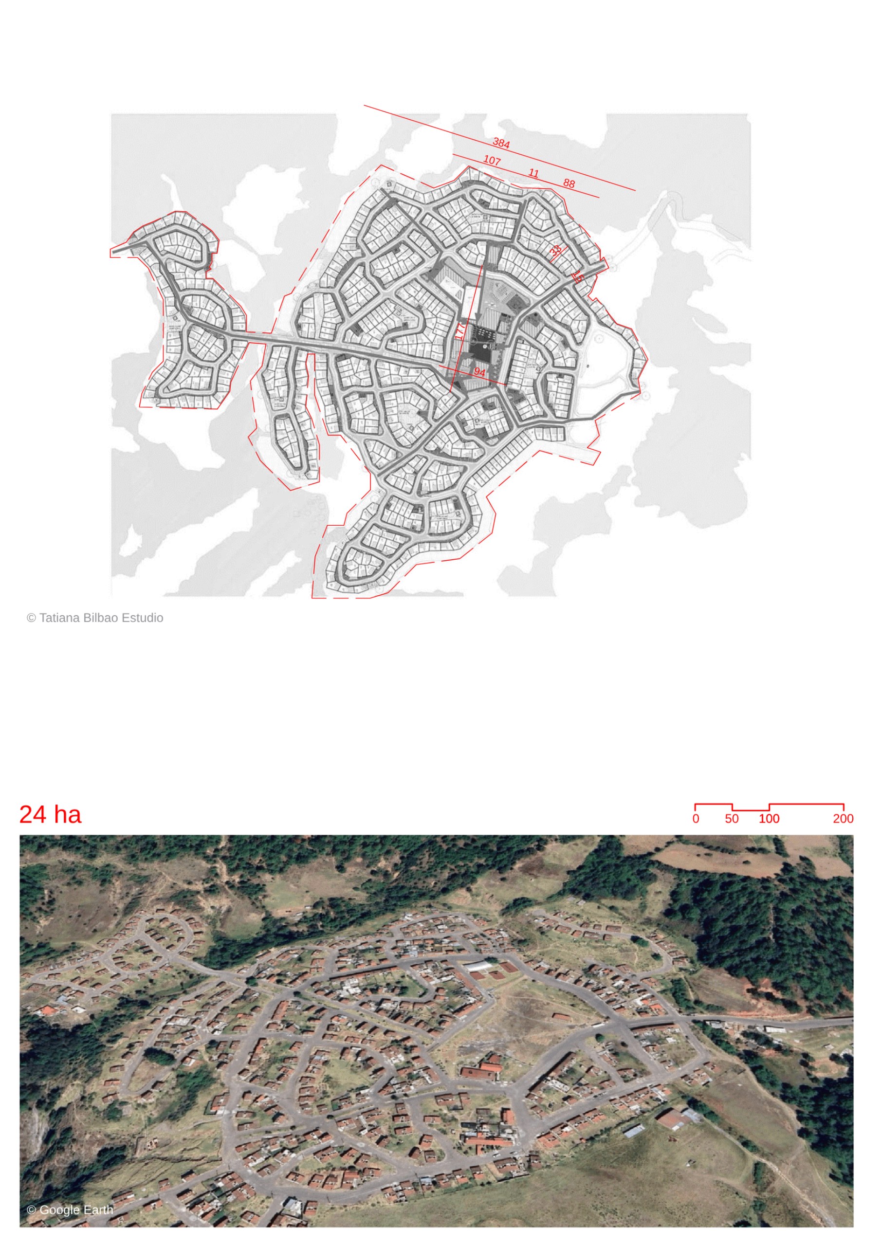
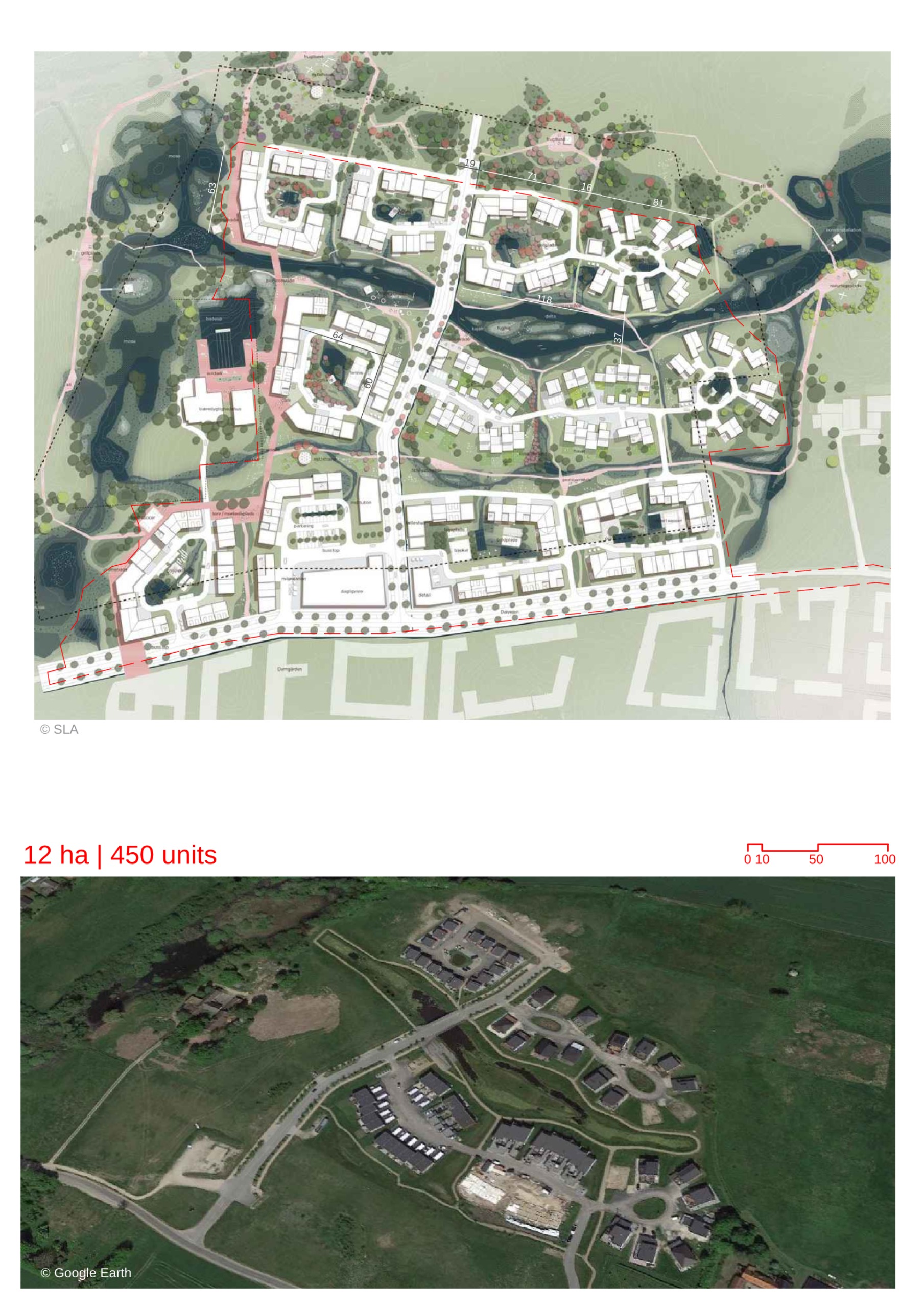
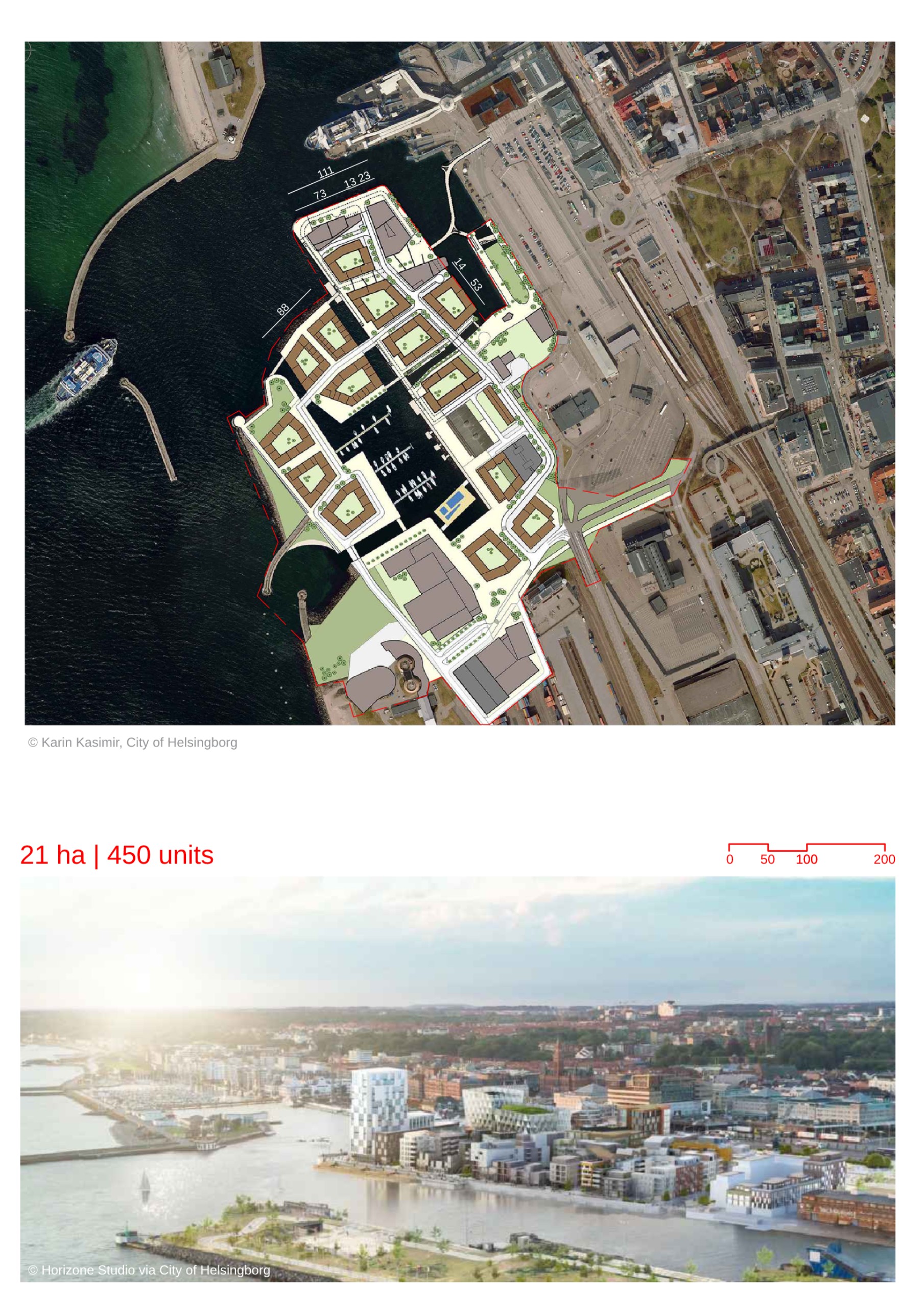
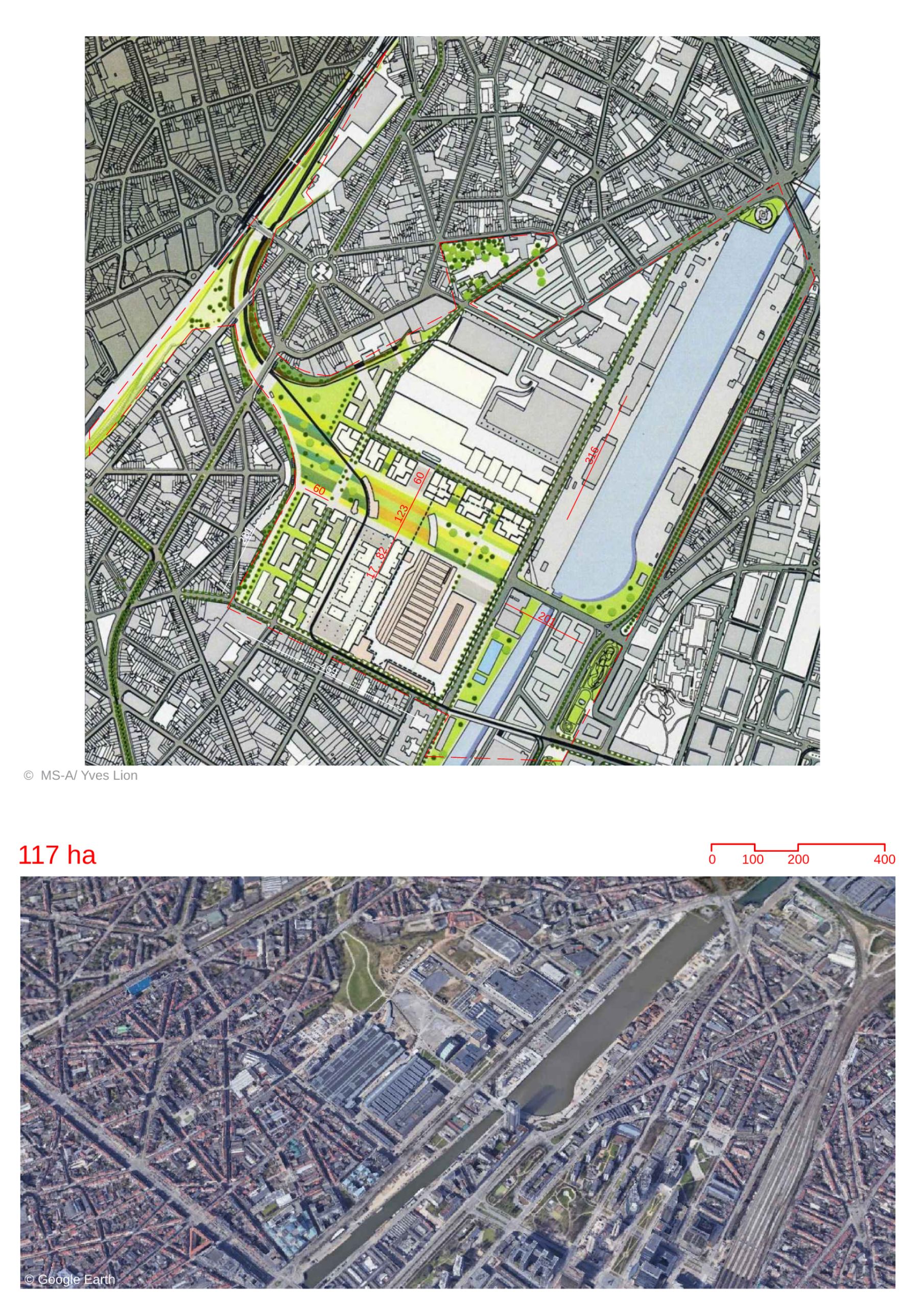
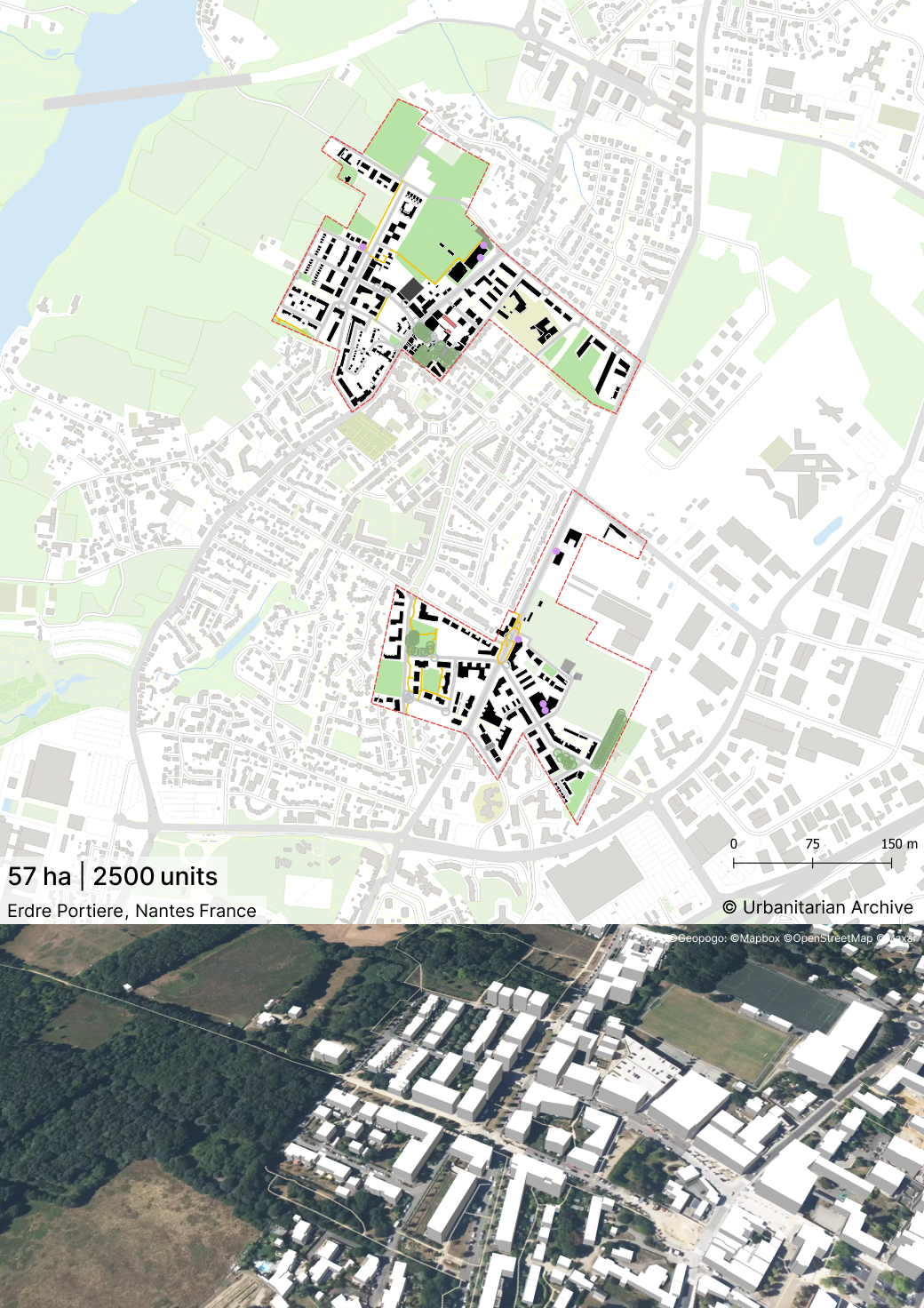
- The development transforms a former wasteland into an eco-district.
- It is strategically located near the ring road of the Paris-Saint Nazaire axis, surrounded by industries and business parks. The area prevents urban sprawl.
- The project provides 40% affordable housing and 25% social housing.
- These housing options are well-connected to daily amenities such as schools, shops, and healthcare facilities.
- The area balances its rustic nature with urban development.
- The neighborhoods are designed to adapt to future expansion, ensuring long-term growth and flexibility.
- It is part of the Nantes Green Star, a network of landscapes and gardens.
- Ancient paths, vegetated streets, and a system of green and public spaces promote biodiversity and create a green structure.
- The neighborhoods are connected by traffic axes, green paths, squares, and green spaces.
- The area is a walkable city, with restricted car access to the city center and the creation of daily walking paths.
- The project features intelligent water management using the area’s natural slope for surface water flow and rainwater management.
- Existing vegetated areas are reinforced by planting hundreds of trees, creating a network of shaded, cool spaces.
- The original plan for future urbanization beyond the town was abandoned to preserve the district as a pristine natural area.
Project Overview
Housing and Community
Urban and Natural Balance
Transportation and Connectivity
Environmental Sustainability
Development and Expansion Plans
Location map
Explore more Masterplans
